A long read · Live Intelligence · Earth
Wildfire leaves the blanks blank
A board of every current US wildland fire, read straight from NIFC's incident layer. We made its exact query on 27 September and set it beside Watch Duty, NASA FIRMS and InciWeb.
By the LABS editorsTested 27 September 2026, 19:58–20:01 UTCA 4-minute read856 words
Chapter one · What it is
The fire register as a readable board
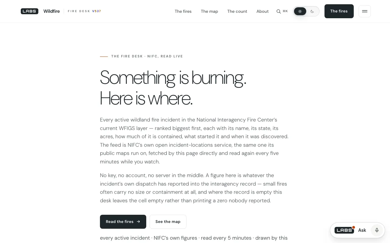
Wildfire presents the National Interagency Fire Center's 'Incident Locations (Current)' layer as a board: every current US wildland fire and prescribed burn, with its name, state, county, acres, containment, cause and discovery date, ranked biggest first, plotted on a drawn map and counted by state.
It is for people following the fire season — reporters, residents of fire country, the curious — who want the official register in a form they can read, rather than a map of perimeters.
Chapter two · How it works
One request, sixteen fields
The script asks NIFC's public ArcGIS feature service for every current incident as GeoJSON, naming sixteen fields instead of requesting all of them; a comment notes that asking for everything would weigh 1.25 MB.1 That single response feeds the list, the map and the count by state. The coastline under the map is Natural Earth's public-domain 1:110m outline, bundled with the page.2 It reads again every five minutes while the tab is visible, and warns if the service capped the result.3
Its central rule is written into the file's header: if an incident has not reported its size or containment, the cell stays empty and the incident is left out of every sum and every rank — never shown as zero.4 It separates wildfires from prescribed burns and labels which is which, and it stamps each read with the time, the host it came from and the newest record change in the layer.5
Chapter three · The test
Four hundred incidents at 19:59
We loaded the page from a local copy of build 537 at 19:58:54 UTC on 27 September 2026 (56,001 bytes), then made the exact query the script builds at 19:59:38 UTC. NIFC answered in 0.31 seconds with 238,238 bytes: 400 incidents and no transfer-limit flag — 306 wildfires, 91 prescribed burns and 3 others, across 28 states.6
Seventy-six incidents had no reported size and 241 had no reported containment. That second figure is why the page's rule matters: a board that printed zeros would have shown 241 fires as 0% contained, a claim nobody had made.
The three largest were all in Oregon: the Rowe Creek Complex at 373,927 acres and 99% contained, 0445 Crosswhite at 342,923 acres and 99%, and the Hay Creek Complex at 200,292 acres and 100%.
Chapter four · Against the field
Watch Duty, NASA FIRMS and InciWeb
Watch Duty
Page read 27 September 2026, 20:01 UTC; rechecked 20:45 UTC
Watch Duty is a 501(c)(3) nonprofit's real-time wildfire service, now covering floods as well, with verified evacuation and shelter information, alerts gathered into one feed, an aircraft tracker for paying members, and apps for iOS, Android and the web.
Where it is betterVerified evacuation orders and shelters, real-time alerts, fire growth followed on live satellite imagery, and first-hand photos and updates from people nearby. For anyone in a fire's path, this is the one to open.
Where Wildfire goes furtherIt needs no app, account or membership, and gives the whole current register on one page, with a state count and a size ranking built from reported values only.7
NASA FIRMS
Page read 27 September 2026, 20:01 UTC
NASA's Fire Information for Resource Management System maps satellite hotspots from the MODIS and VIIRS instruments worldwide, available within three hours of observation and in real time for North America, with email alerts and SHP, KML and TXT downloads.
Where it is betterGlobal reach, and it sees fires that have not yet been logged as incidents.
Where Wildfire goes furtherIt names each fire and gives its acres, containment, cause and discovery date from the incident record; a hotspot carries none of those.
InciWeb
Page read 27 September 2026, 20:01 UTC
InciWeb is the official US government incident information system: a map and table of wildfires, prescribed fires, burned-area response and other incidents, with a red-flag-warning layer.
Where it is betterIncident pages written by the teams working the fire, and red-flag warnings on the map.
Where Wildfire goes furtherIt counts every current incident by state and ranks the whole layer by size in one view, reading again every five minutes.
Chapter five · Where it falls short
A register, not a warning system
Wildfire plots one point per incident and says plainly that the size shown is the latest reported, not a measured perimeter.8 It carries no evacuation orders, shelters, red-flag warnings or alerts — the first things a resident under threat needs.
Its list shows the 150 biggest incidents only. With 400 in the feed on the evening we tested, 250 were reachable only through the map and the count.9 And it covers the United States alone, with nothing like FIRMS's worldwide satellite detections.
Chapter six · The verdict
Discipline you can count
Wildfire's quiet virtue is refusing to invent. It asks NIFC for exactly what it needs, a fifth of the full payload, and wherever the record is silent it stays silent too. On the evening we tested, that meant declining to fabricate 241 containment figures.
Read it to understand the season as a whole. If a fire is near you, open Watch Duty first.
A fire register that would rather show an empty cell than an invented zero.
Notes on the evidence
Paths are in the labs.llc build 537 tree; times are UTC on 27 September 2026.
wildfire/assets/js/app.jslines 18–27 (service address and the sixteen named fields).app.jsheader lines 7–8;coast.jslines 3–5.app.jslines 42 and 489 (five-minute refresh) and 94 (cap warning).app.jsheader lines 10–14;rank()at lines 76–82.app.jsline 43 (wildfires, prescribed burns) and lines 97–100 (read stamp).- Page at 19:58:54 UTC; the query from
app.jsline 27 at 19:59:38 UTC. app.jslines 1–8, 18–27 and 76–82.wildfire/index.htmlline 711.app.jsline 42 (ROWS_MAX) and lines 189–205.