A long read · Live Intelligence · Earth
Cybertaxi will not pretend a charger is free
A register of 1,065 public EV charging stations in twelve US cities, sorted by your position without sending it anywhere. We read its data and set it beside the DOE's AFDC locator and PlugShare.
By the LABS editorsTested 27 September 2026, 19:58–20:01 UTCA 4-minute read763 words
Chapter one · What it is
Chargers near you, and nothing invented
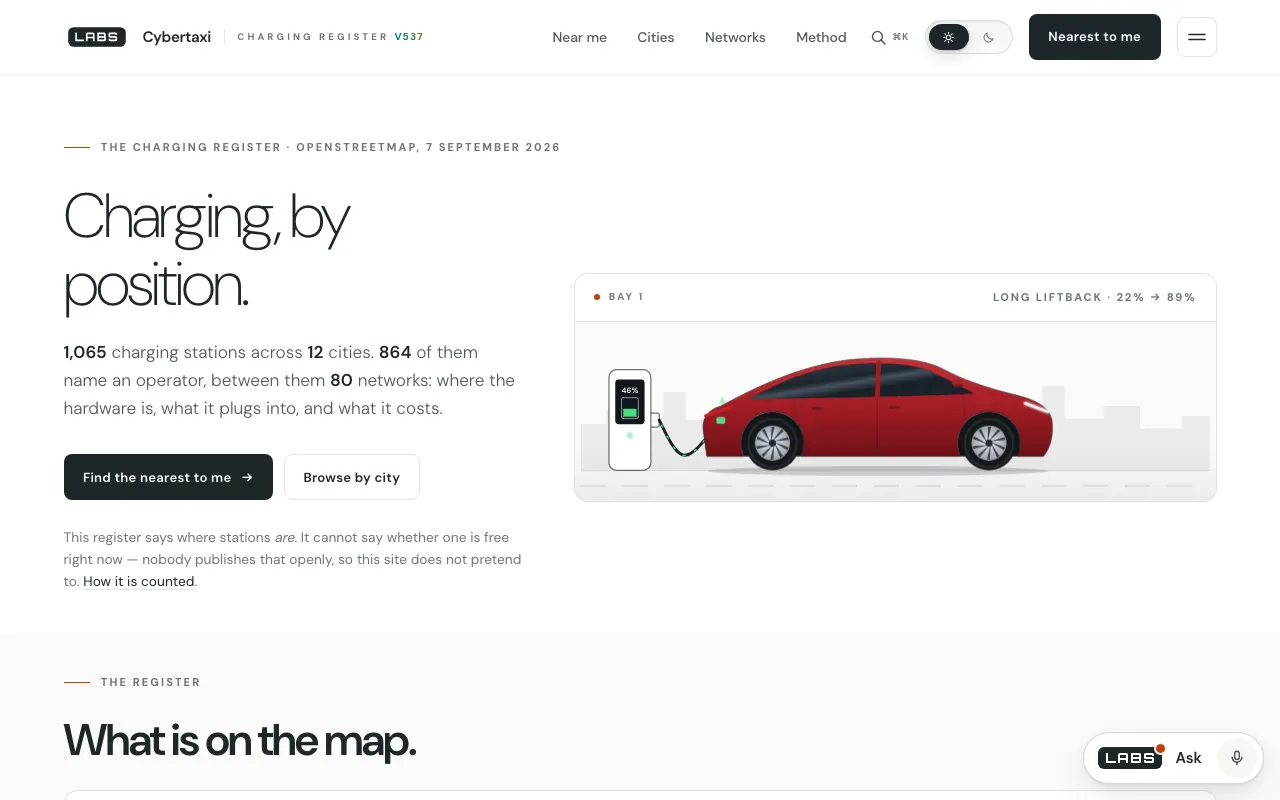
Cybertaxi lists 1,065 public electric-vehicle charging stations across twelve US metro areas, taken from OpenStreetMap, and sorts them by how far each is from you. Each entry gives the operator, connectors, power rating and access terms as mapped — and the site says outright that it cannot tell you whether a stall is free.
It is meant for EV and ride-hail drivers in the covered cities who want a quick, private list of nearby chargers, and for anyone curious about the shape of a city's public charging map.
Chapter two · How it works
Server first, then your browser
Unlike most tools in this issue, Cybertaxi is rendered on a server, in PHP, over a register built from OpenStreetMap's charging-station records, read on 7 September 2026 at 22:04 UTC.1 The 'near' page prints the 120 fastest stations on the server, so the list works with JavaScript switched off.2
Share your position and the page re-sorts all 1,065 stations in your browser, against a copy of the register, by great-circle distance. Your position is never sent to the server.3 The code calls that distance straight-line, because road distance would need a routing service it does not have.
Two decisions shape the whole site. The first is a refusal: OpenStreetMap records where hardware is, never whether it is occupied, so no page claims a charger is available now.4 The second is a history. The site it replaced advertised live cabs, ratings and ride counts that were simply typed into the HTML; the rebuild publishes only what is real, which is the charging network.5
Chapter three · The test
What the register holds
We loaded the home page from a local copy of build 537 at 19:58:54 UTC on 27 September 2026 (67,821 bytes), and fetched the station file the browser sorts: 329,732 bytes. Its metadata records 1,065 stations in 12 cities from 80 networks. Of those, 259 are DC fast chargers, 312 carry a power rating and 523 have unknown access terms. Tesla runs 257, ChargePoint 209 and EVgo 73; Los Angeles has 269 stations and Milwaukee 21.6
At 19:59 UTC the near page returned 87,789 bytes, with 120 station cards already in the HTML before any script ran. Our local server does not apply the site's short /near/ address, so we requested the PHP file directly.
Chapter four · Against the field
The DOE's locator and PlugShare
AFDC Station Locator (US Department of Energy)
Page read 27 September 2026, 20:01 UTC
The Department of Energy's locator covers alternative fuelling and charging stations across the United States and Canada — electricity, and also biodiesel, ethanol, hydrogen, natural gas, propane and more — with route mapping, counts by state, summary charts, mobile apps and developer APIs.
Where it is betterNational coverage in two countries rather than twelve metros, plus route planning and APIs.
Where Cybertaxi goes furtherIt sorts by your position without sending it anywhere, gives a working list before any script runs, and prints the date its register was read at the foot of every page instead of implying freshness.7
PlugShare
Page read 27 September 2026, 20:01 UTC, via its company site
PlugShare is an EV charging map and driver community covering more than 200 countries and territories, on iOS, Android and the web. Features we could not confirm on its company site are not described here.
Where it is betterWorldwide coverage, a very large community of drivers, and apps that route you to a charger.
Where Cybertaxi goes furtherIt needs no account or app, and its register is open data under OpenStreetMap's licence, with the date it was read published.8
Chapter five · Where it falls short
Twelve cities, one snapshot
There is no live availability or pricing, by design. The data is a snapshot read on 7 September 2026, twenty days before our test, and it covers twelve metro areas only.
The records are thin: only 312 of 1,065 stations carry a power rating, and 523 have unknown access terms. And distance is straight-line rather than driving distance; the AFDC locator will map a route.
Chapter six · The verdict
Useful because it is modest
Cybertaxi was rebuilt from something that faked its figures, and it shows. It publishes only what can be checked, dates its register on every page, keeps your position in your own browser, and still hands you a working list with JavaScript switched off.
If you drive in one of its twelve cities, it is a fast, private first look. For coverage and routing, the AFDC locator and PlugShare reach far further.
A charging list that keeps your position private and never oversells its data.
Notes on the evidence
Paths are in the labs.llc build 537 tree; times are UTC on 27 September 2026.
cybertaxi/data/meta.json(OpenStreetMap, ODbL, read 2026-09-07 22:04:06 UTC);lib.php.cybertaxi/near.phplines 37–48.cybertaxi/app.jsline 26 (register copy), 36–44 (distance) and 114–130;near.phplines 4–9.lib.phpheader lines 23–26; the caveat inmeta.json.lib.phpheader lines 12–21.- Home page,
stations.jsonandmeta.jsonat 19:58:54 UTC;near.phpat 19:59:00 UTC. near.phplines 4–9 and 36–48;app.jslines 114–130;lib.phplines 23–26, and the footer at lines 264–266, which prints the read date on every page.cybertaxi/data/meta.json.